Hunger mapping

Where are we missing biodiversity data?

A hunger map is a map of missing biodiversity data (a biodiversity data gap). The main challenge with hunger mapping is proving that a species does not exist but should exist in a region. Hunger maps are important because they could be used to prioritize funding and digitization efforts. Currently, GBIF has no way of telling what species are missing from where. In this blog post I review some potential ways GBIF could make global biodiversity hunger maps.

Will citizen science take over?

Citizen science is scientific research conducted, in whole or in part, by amateur (or non-professional) scientists. Biodiversity observations by citizen scientists have become significant in the last 10 years thanks to projects like:

Using shapefiles on GBIF data with R

Not all filters are born equal It happens sometimes that users need GBIF data that fall within specific boundaries. The GBIF Portal provides a location filter where it is possible to draw a rectangle or a polygon on the map and get the occurrence records within this shape. However these tools have a limited precision and occasionally the job calls for more complex shapes than the GBIF Portal currently supports.

Sharing images, sounds and videos on GBIF

This blog post covers the publication of multimedia on GBIF. However, it is not intended to be documentation. For more information, please check the references below. NB: GBIF does not host original multimedia files and there is no way to upload pictures to the platform. For more information, please read the how to publish paragraphs. Media displayed on the GBIF portal Let’s say that you are looking for pictures of otters, or perhaps the call of a sea eagle.

Finding citizen science datasets on GBIF

Update (September 2026): Citizen science datasets in GBIF are now maintained using the DatasetCategory vocabulary, where CitizenScience is one of the supported categories. The category assignments are managed through the dataset-category-management project. This post is retained as a historical description of an earlier approach to finding citizen science datasets.

Can we automatically label citizen science datasets?

The short answer is yes, partially.

Why label GBIF datasets as “citizen science”?

What is citizen science?

Citizen science is scientific research conducted, in whole or in part, by amateur (or non-professional) scientists. Citizen science is sometimes described as “public participation in scientific research,” participatory monitoring, and participatory action research (wikipedia definition).

Finding gridded datasets

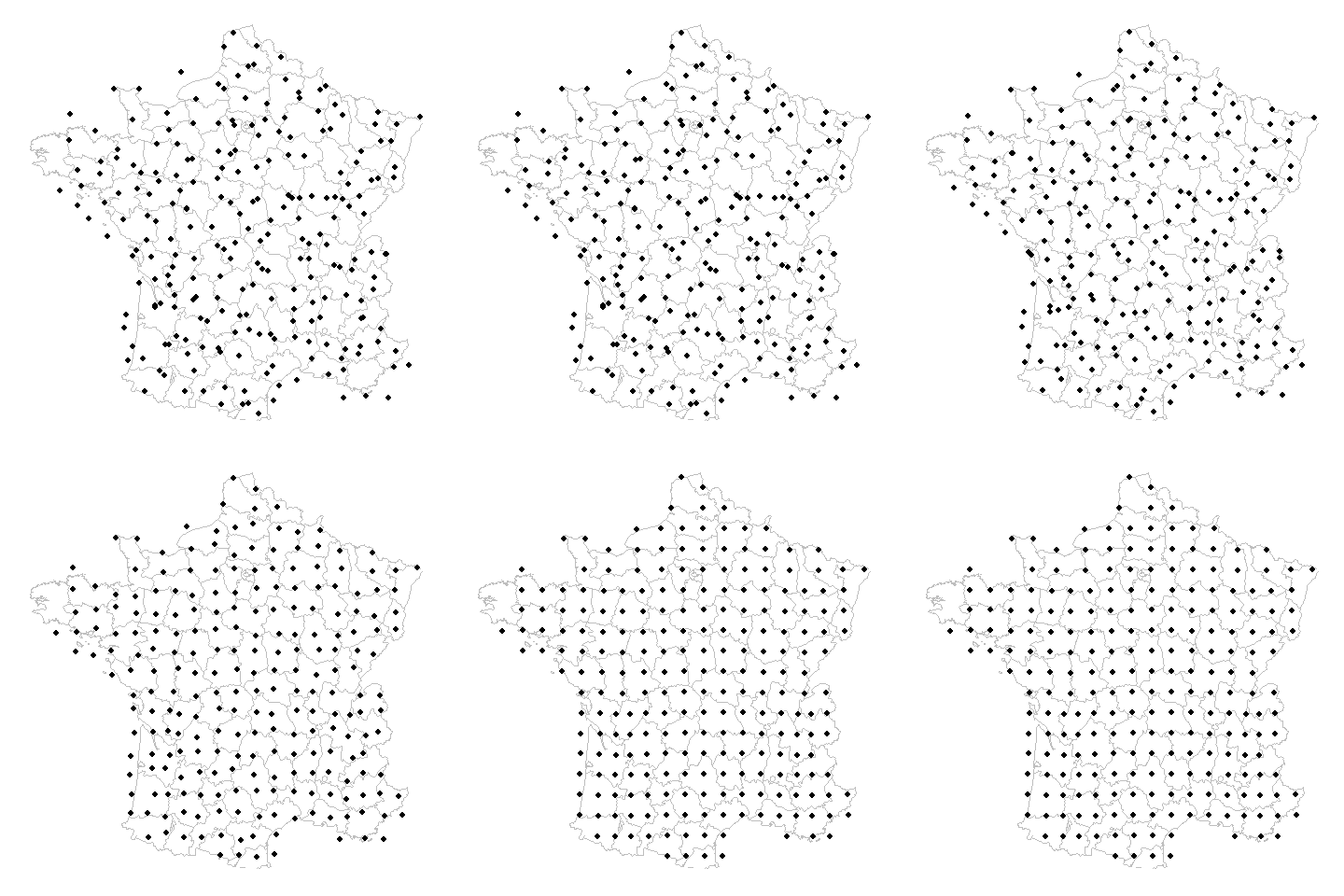
Gridded datasets are a known problem at GBIF. Many datasets have equally-spaced points in a regular pattern. These datasets are usually systematic national surveys or data taken from some atlas (“so-called rasterized collection designs”).

GBIF download trends

Link To App Explanation of tool This tool plots the downloads through time for species or other taxonomic groups with more than 25 downloads at GBIF. Downloads at GBIF most often occur through the web interface. In a previous post, we saw that most users are downloading data from GBIF via filtering by scientific name (aka Taxon Key). Since the GBIF index currently sits at over 1 billion records (a 400+GB csv), most users will simplying filter by their taxonomic group of interest and then generate a download.